

মেনু নির্বাচন করুন
-
Home
-
About Union
About Union
Geographical & Economic
-
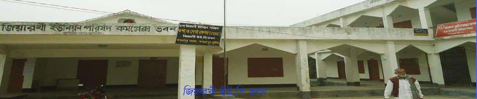
Union Parishad
Activities of Union Council
-
Govt. Office
Agriculture
স্বাস্থ্য সেবা
সমাজসেবা
-
Other Institutions
- Different Lists
-
Projects
-
Services
জিয়ারখী ইউআইএসসি
রেজিষ্টার সমূহ
-
Gallery
Main Comtent Skiped
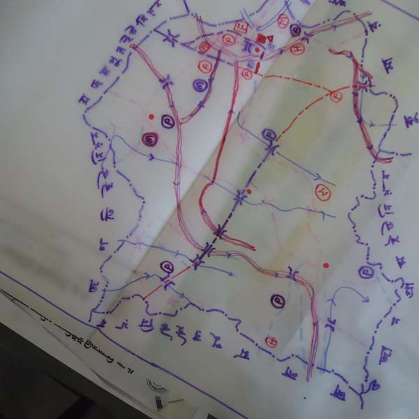
Drawing map was presented in the hands of 6th Ziarakhi Union
Drawing map in the hands of Ziarkhi Union Parishad .....
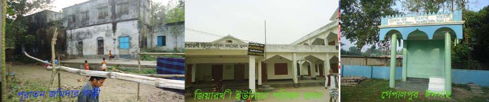
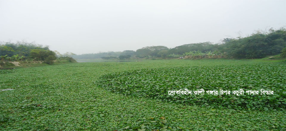
Kushtia Municipality is situated to the north of Ziarkhi Union, Majampur Union to the northwest, Battail Union to the west, Alampur Union to the southwest, Ujangram Union to the south, Bogulat Union to the southeast, and Chapra Union to the northeast. Kushtia's traditional, time-honored Kali Ganga River flows over Bagulat Union on the eastern side of Ziarkhi UP.


Site was last updated:
2023-11-24 10:46:36
Planning and Implementation: Cabinet Division, A2I, BCC, DoICT and BASIS
Technical Assistance:
![]()
Developed By:
